Leotta Location & Design

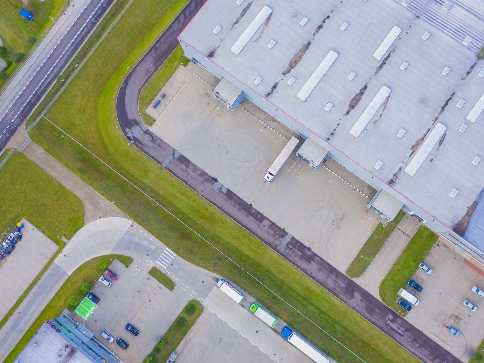
Site Readiness Services
Visit our Methodology page to learn more about the SSI Program’s comprehesive process, or contact us with questions regarding processes, deliverables, or cost estimates for any of our services.
Site Discovery identifies previously undiscovered sites to develop a strong inventory of viable real estate assets for an economic development intent.
Preliminary Due Diligence is designed to begin the site due diligence process on a low-cost, cursory basis to gain a more informed understanding on a site’s development potential prior to investing in full scale due diligence.
Advancement to Market is a necessary step in graduating a site to the open real estate market in a development-ready capacity by stimulating landowner interest through education, outreach, and relationship building.
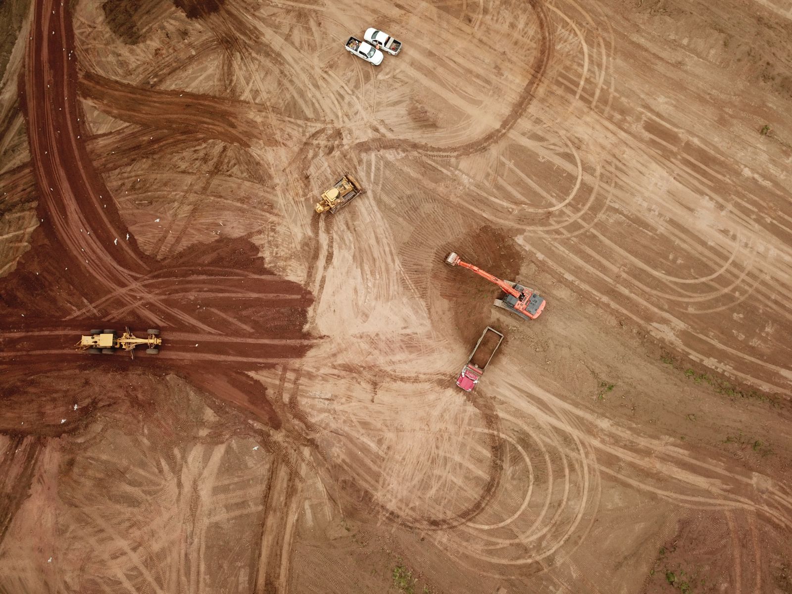
Formal Due Diligence high-level physical investigation and documentation is administered judiciously with only select sites qualifying as candidates for formal due diligence.
Branding and Marketing is necessary to activate the SSI Program investment by creating a comprehensive informational package to globally promote the location value of a site to target industries.